The solution to the Brazilian market Scooter combining intelligent hardware (WON), cutting edge software and camera and sensor systems built for mapping (photogrammetry like drones), and not for creating movies; it is common for people to link engineering work (aerial mapping) with the hobby of flying a drone.
ATayga Drone is really changing the way people will think about professional mapping drones.
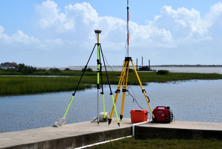
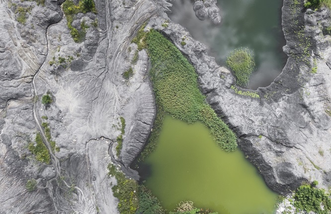
Tayga's topographic survey allows you to offer quality maps of any terrain, even in hard to reach places, quickly and economically. With a team of multidisciplinary engineers, we are able to provide personalized support for our customers.
It is important to note that aerial mapping it is not an artistic work but a work of ENGINEERING.
We offer our customers data, qualitative and quantitative indicators for strategic land management.
use technology Tayga Drone to simplify and determine the tasks related to:
topographical survey;
Pre-project surveys;
3D models of the environment;
Survey of level curves;
georeferenced plans.
Time Tayga has extensive experience in the industry, that can be adapted to numerous applications.